
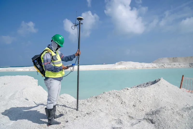
A surveyor helps a road project team work from precise measurements of the site, including the location of important features, the shape of the ground and relevant property boundaries. If you are exploring surveying as a career, the job combines outdoor measurement with office work that makes the results usable by designers.
The fieldwork starts with records and reference points
Before measuring, surveyors can check land titles, earlier surveys and other records that help establish a boundary. At the site, they use known reference points and measure distances and angles to locate the features the project needs. Think about a crew mapping a proposed sidewalk approach. The designer needs more than a photo of the corner. The location of the curb and the changes in ground level have to match the other information on the plan. Bureau of Labor Statistics, Surveyors
The instruments collect the data and the crew checks it
A survey crew may use GPS equipment or a robotic total station, an instrument that can position its measuring telescope automatically. Collecting measurements is one stage. Surveyors record the results, check their accuracy and can prepare plots, maps or written reports. They may use GIS to show the location of features and CAD to create digital maps. Bureau of Labor Statistics, Surveyors
Ask what part of the work a new hire will do
Surveyors can work with technicians, civil engineers and planners to help prepare documents used in road design. Their work may involve time outdoors in changing weather, including locations near traffic, as well as time at a computer. If you are comparing jobs, ask how often the crew works at road sites, who reviews the measurements and which mapping tasks a new employee handles. A field crew role and a position preparing final documents develop different skills. Bureau of Labor Statistics, Surveyors